

File:USA Region West location map.svg

Size of this PNG preview of this SVG file: 535 × 599 pixels. Other resolutions: 214 × 240 pixels | 429 × 480 pixels | 686 × 768 pixels | 914 × 1,024 pixels | 1,829 × 2,048 pixels | 1,400 × 1,568 pixels.
Original file (SVG file, nominally 1,400 × 1,568 pixels, file size: 151 KB)
Summary
| Description |
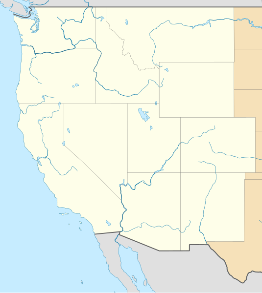
Deutsch: Positionskarte der westlichen Staaten der USA
Quadratische Plattkarte, N-S-Streckung 130.0 %. Geographische Begrenzung der Karte: Equirectangular projection, N/S stretching 130.0 %. Geographic limits of the map:
|
| Date | |
| Source |
Own work
|
| Author | Alexrk2 |
| Other versions |
|


|
This map has been made or improved in the German Kartenwerkstatt (Map Lab). You can propose maps to improve as well.
|
Licensing
I, the copyright holder of this work, hereby publish it under the following license:
This file is licensed under the Creative Commons Attribution 3.0 Unported license.
- You are free:
- to share – to copy, distribute and transmit the work
- to remix – to adapt the work
- Under the following conditions:
- attribution – You must give appropriate credit, provide a link to the license, and indicate if changes were made. You may do so in any reasonable manner, but not in any way that suggests the licensor endorses you or your use.
File history
Click on a date/time to view the file as it appeared at that time.
| Date/Time | Thumbnail | Dimensions | User | Comment | |
|---|---|---|---|---|---|
| current | 11:59, 25 April 2010 | | 1,400 × 1,568 (151 KB) | wikimediacommons>Alexrk2 | == {{int:filedesc}} == {{Information |Description= {{de|Positionskarte der westlichen Staaten der USA}} Quadratische Plattkarte, N-S-Streckung 130.0 %. Geographische Begrenzung der Karte: {{en|Location map of [[:en:Western United States|Wester |
File usage
The following page uses this file: